Doing the right thing at the right time in the right place: How geospatial data and tools can support PEPFAR
•
1 like•3,041 views

This presentation was shared at the June 2016 MEASURE Evaluation GIS Working Group Meeting.

Recommended
More Related Content
What's hot
What's hot (13)
Similar to Doing the right thing at the right time in the right place: How geospatial data and tools can support PEPFAR
Similar to Doing the right thing at the right time in the right place: How geospatial data and tools can support PEPFAR (20)
More from MEASURE Evaluation
More from MEASURE Evaluation (20)
Recently uploaded
Recently uploaded (20)
Doing the right thing at the right time in the right place: How geospatial data and tools can support PEPFAR
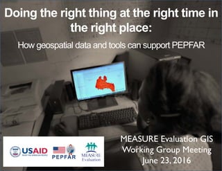
- 1. Doing the right thing at the right time in the right place: How geospatial data and tools can support PEPFAR MEASURE Evaluation GIS Working Group Meeting June 23, 2016
- 2. How can we ensure data quality?
- 3. What are the factors influencing effective use of spatial data?
- 4. What is the most effective way to communicate spatial data?
- 5. What is the most effective way to communicate spatial data?
- 6. What is the most effective way to communicate spatial data?
- 8. Estimated HIV Prevalence in Eastern Cape, South Africa 2014 Supply and distribution of health clinics meeting demand?
- 9. 1) Present examples of state of the art use of geospatial tools and data 2) Identify factors that affect spatial data quality and potential strategies to mitigate bad spatial data 3) Identify common questions being asked in support of PEPFAR decision making, who is asking them, and the role for spatial data products Meeting objectives:
- 10. Let the world know #GIS4AFG
- 11. MEASURE Evaluation is funded by the U.S. Agency for International Development (USAID) under terms of Cooperative Agreement AID-OAA-L-14-00004 and implemented by the Carolina Population Center, University of North Carolina at Chapel Hill in partnership with ICF International, John Snow, Inc., Management Sciences for Health, Palladium Group, and Tulane University. The views expressed in this presentation do not necessarily reflect the views of USAID or the United States government. www.measureevaluation.org