NACIS 2016 Presentation
Emily Eros, Red Cross
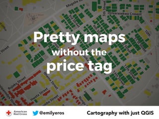
To produce quality maps for disaster situations, the American Red Cross constantly struggles to balance rapid deadlines with good cartographic design. We also believe in using free and open software whenever possible. Historically, we struggled to make print-ready maps using just QGIS; its print composer isn't intuitive and certain functionalities just aren’t there. So until recently, we used QGIS to process our data and then performed styling in Illustrator. This method works, but adds extra time and complexity that just isn’t realistic in the aftermath of a major earthquake. Over the past year, we’ve channeled our energy into figuring out tricks and processes for doing cartography entirely within Q. In this session, we’ll show how to do some of our favorite styling effects without needing Adobe. We’ll demonstrate how to make the print composer work. And we’ll share some of the limitations we’re still experiencing.